Yellow Days (2009-Ongoing)
View Point Blue (2019-2023)
series Moon and Light (2017-2019)
Kooni on Air <Chapter 1. Picnic> (2017)
Line 1 (2013-2016)
No Surprises (2016)
Ki Hyongdo (2015)
Sync Reset (2015)
Black Night (2014-2015)
Mise en Scène (2009-2013)
Concrete Romance (2013)
White Ghost Island Project (2013-2014)
Report of Subjectivity. Red Nation (2012)
series Aesthetic Surgery (2011-2017)
White Ghost Island Project
Photo Collage, Book,
Site Specific Installation, Performance, Single Channel Video
[IMAGE] The Sea of ROKS Chenan Sinking, Baeng-Nyeong Island, S.Korea, 2013
All around Baeng-Nyeong Island
Photo Collage, Book, Site Specific Installation, Performance, Single Channel Video


[IMAGE] Camping Site
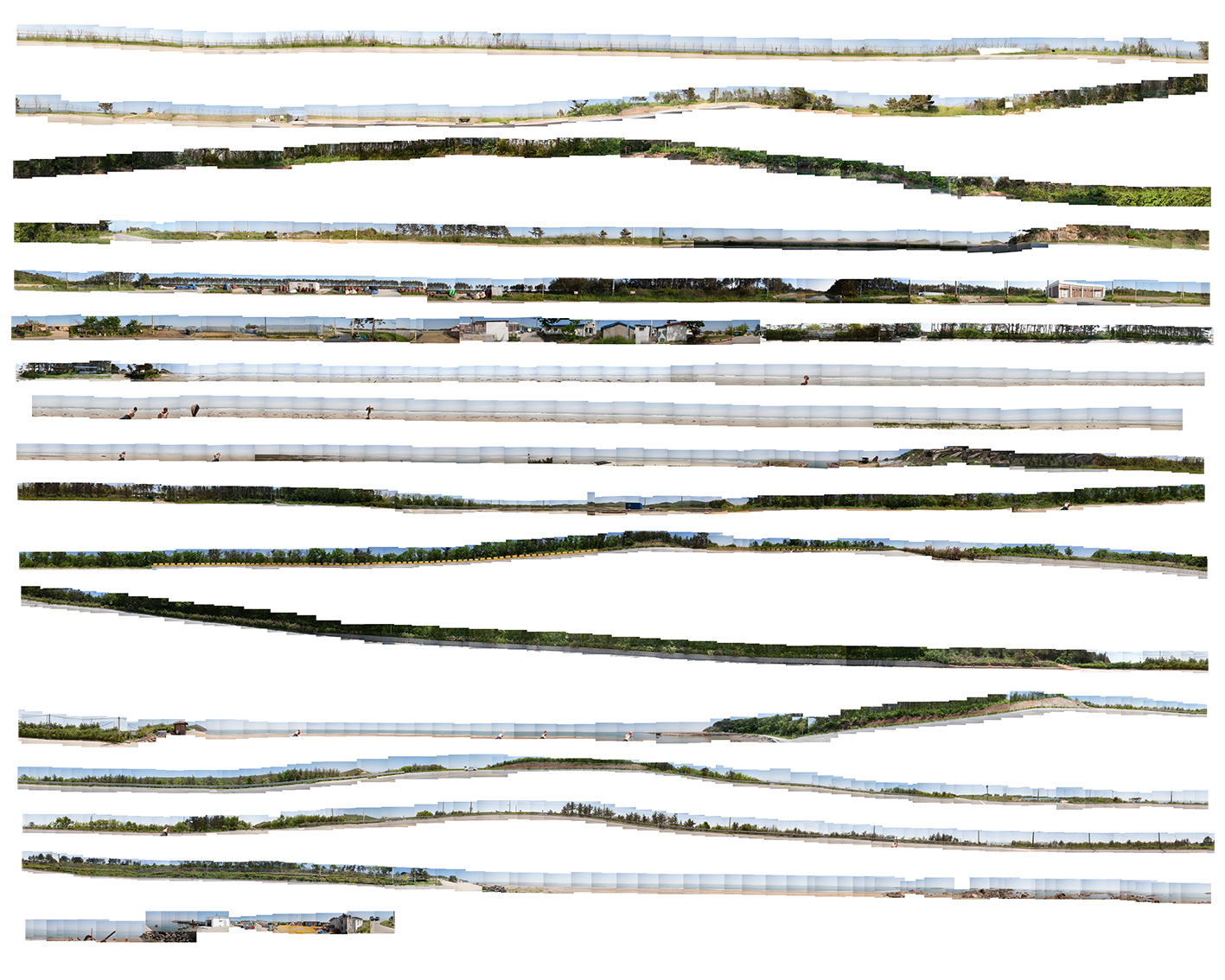
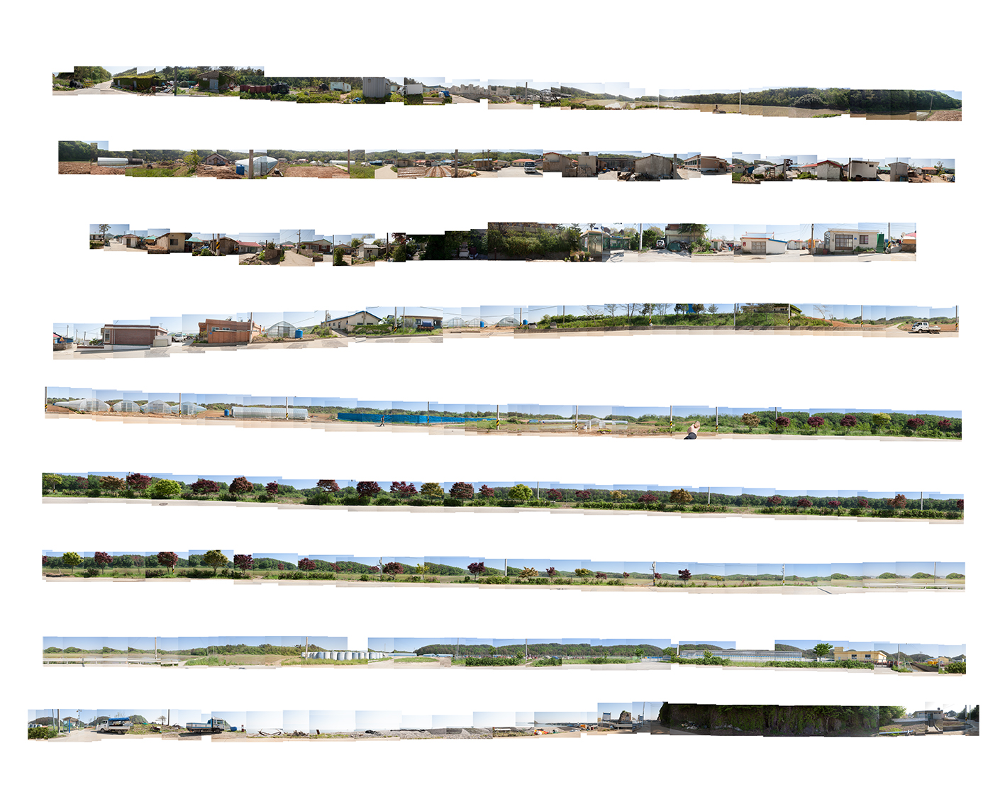
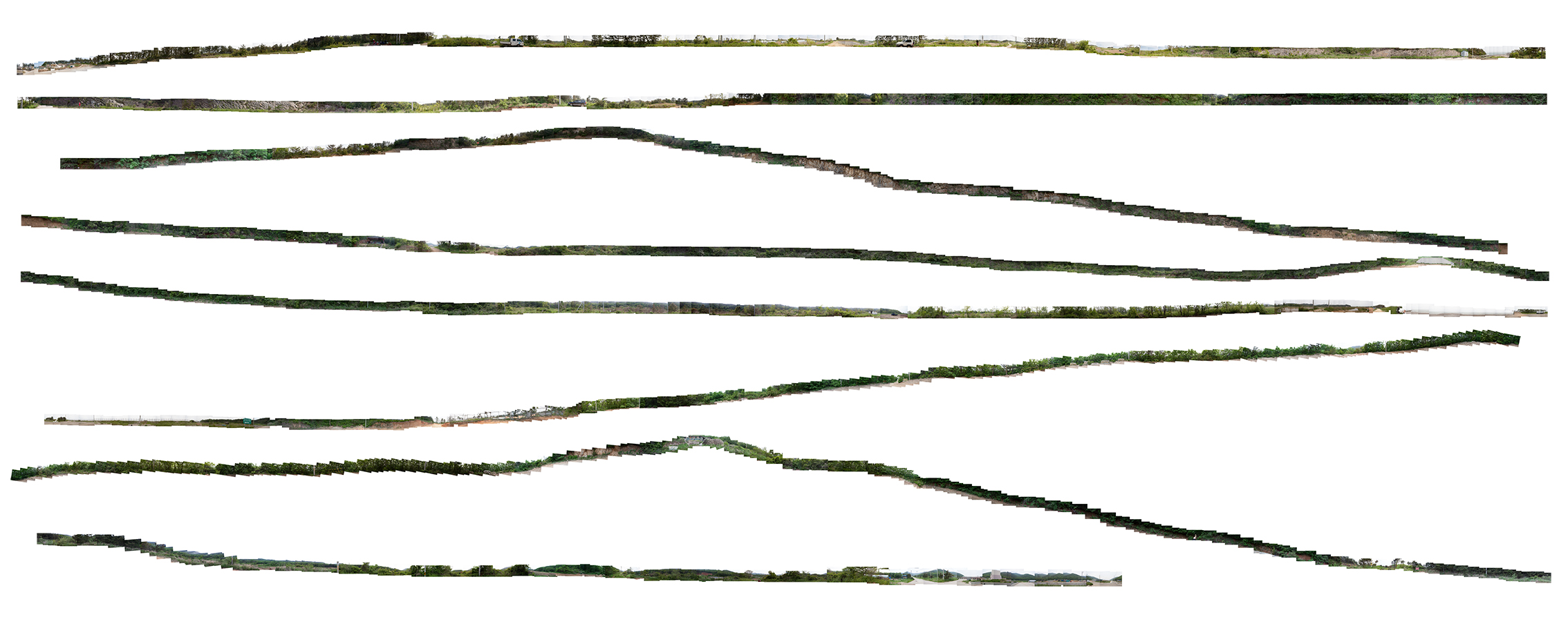
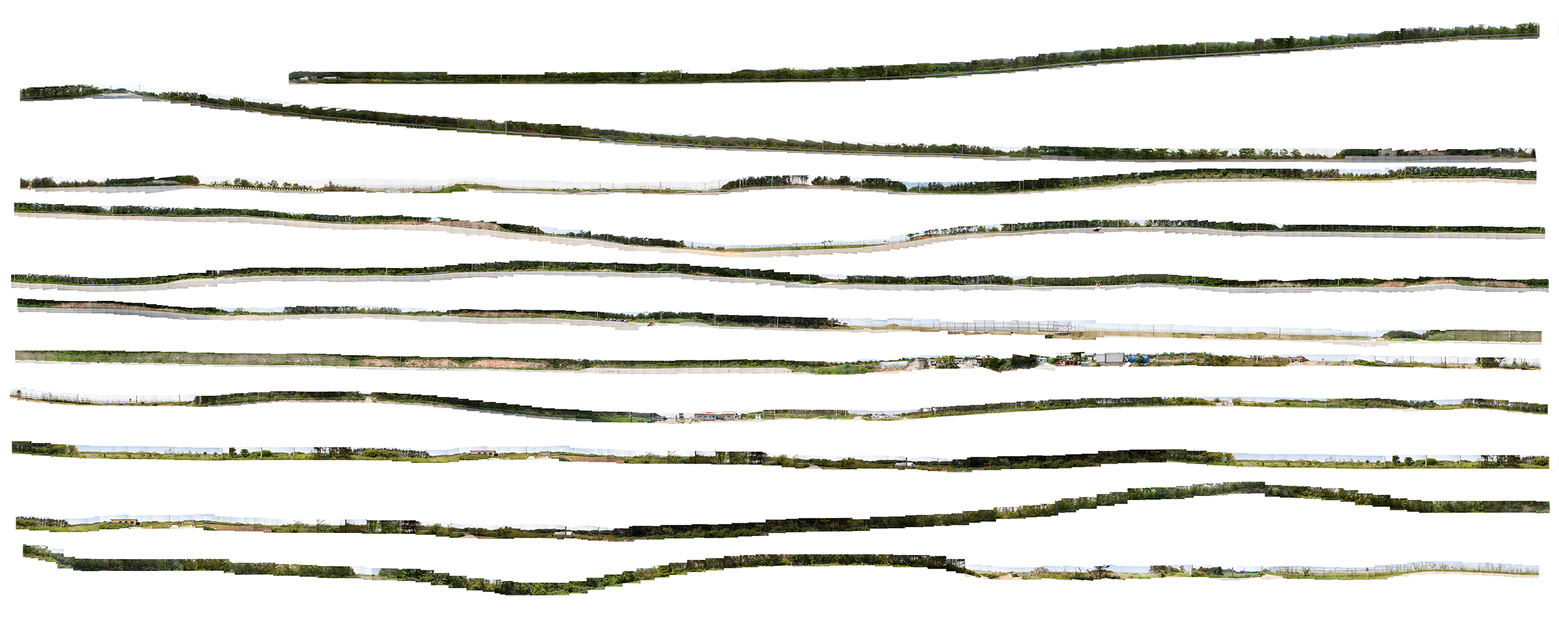
Baengnyeong island is an insecure and isolated territory where the tension between the North and South Korea still exists. Put this superficial view on the island aside, life surrounded by the sea - people living in there, natural objects like trees in the forest and pebbles on the seashore - was photographed at every 10 meters apart for 4days. The photographs were connected to one panorama. The panorama shows natures and military facilities of the island in the same picture.
The operation of military troops defending the South has become the most essential reason for the island’s existence. Military installments in the photographs manifest how the island is invaded by the political conflicts and collisions, showing a sharp contrast to the nature of the island.
백령도의 지리적 특수성은 남북분단으로 인한 이념의 대립과 더불어 섬이라는 지리적인 폐쇄성이 가지는 특질로 인해서 고립되고 불안할 수밖에 없다. 백령도를 바라보는 이러한 1차적인 시선을 뒤로 미루고 실제 그곳에 거주하는 사람들, 해변의 조약돌이나 숲속의 나무와 같은 자연물들, 바다로 둘러싸인 생활환경을 기록하기 위해 3박 4일 동안 섬 둘레를 도보일주 하면서 10m 간격으로 사진을 찍어, 마지막에는 하나의 긴 파노라마로 잇는다. 최종인화된 파노라마 사진에서는 어쩔 수 없이 백령도의 군사시설과
자연물들이 공존한다. 분단이라는 것은 군사적 용도 없이는 백령도가 존재할 이유를 없게 만들었다. 파노라마 사진에서 군사시설물은 자연물들과 묘한 대립각을
세우면서 충돌과 반목의 현장 백령도가 지정학적인 위치로 인해 어떻게 점유되고 있는지 보여준다.

All Around Baeng-Nyeong Island Enlarged Photo
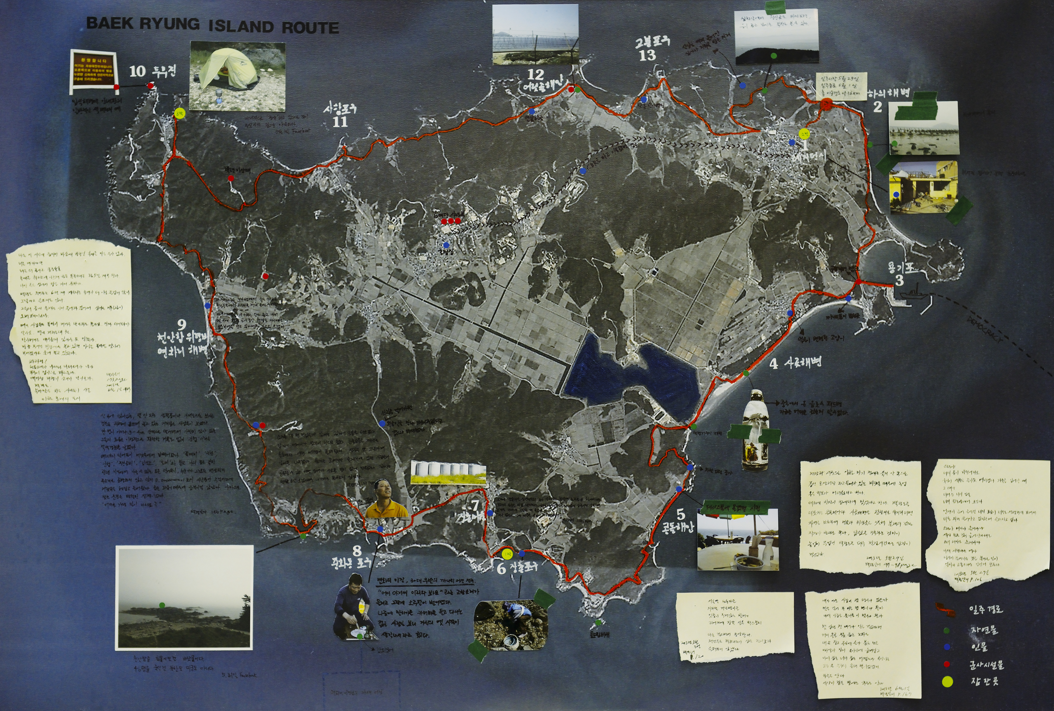
Baeng-Nyeong Island Route, 61 x 90cm, Note on Canvas, 2013
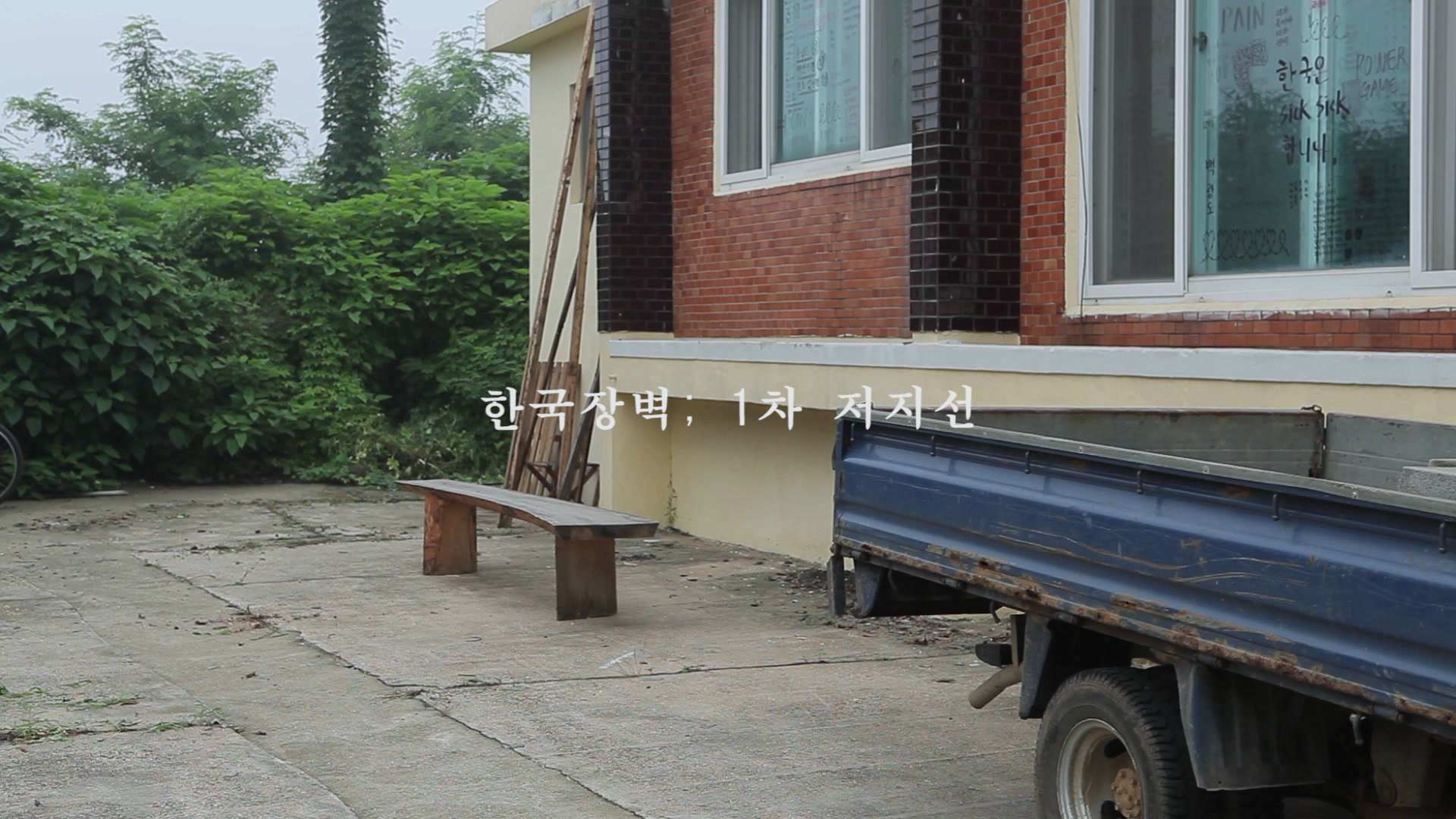
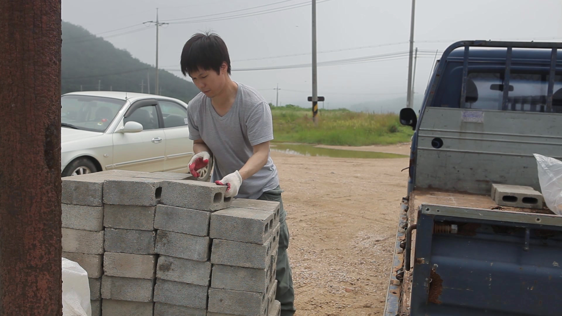
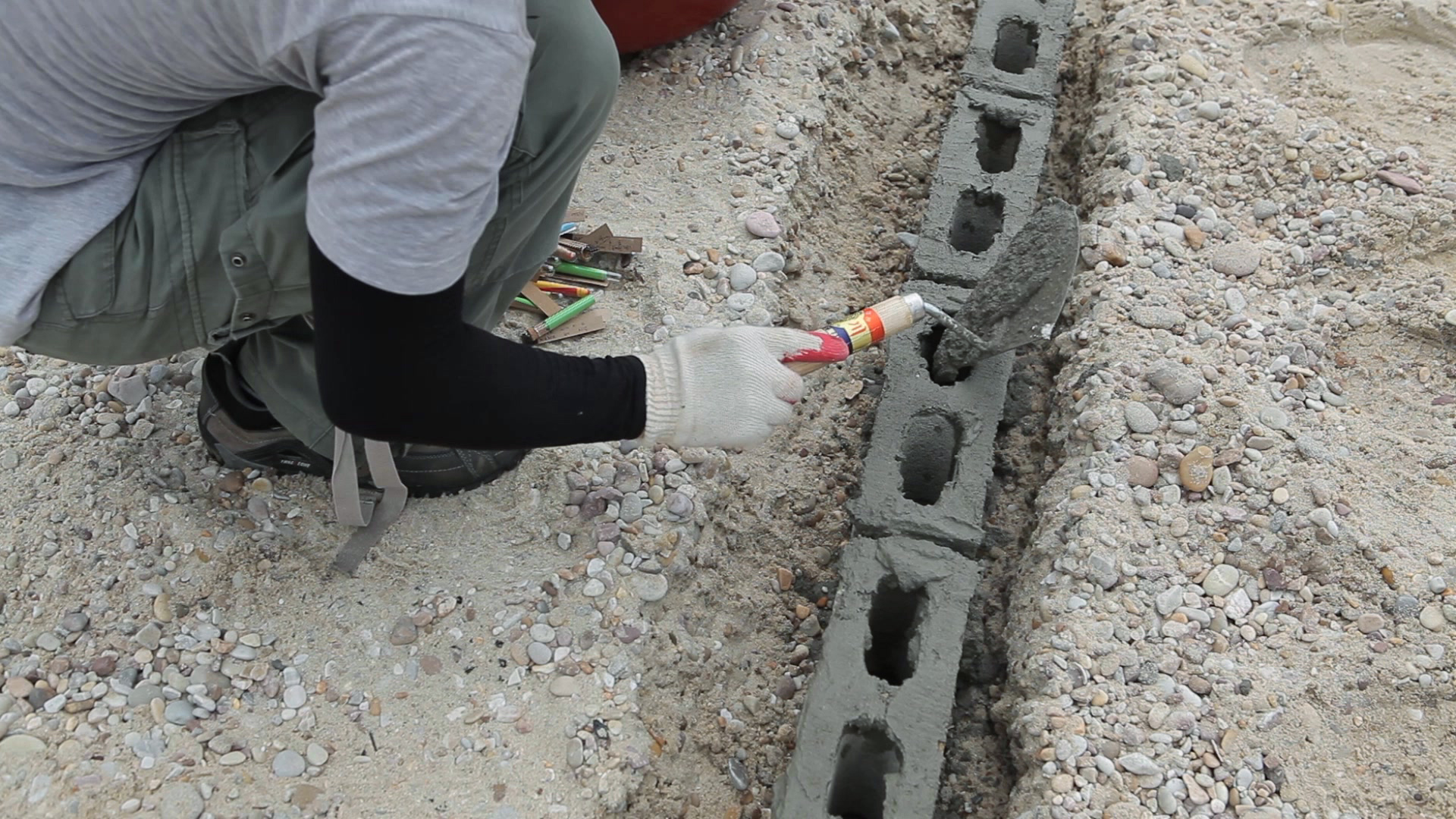
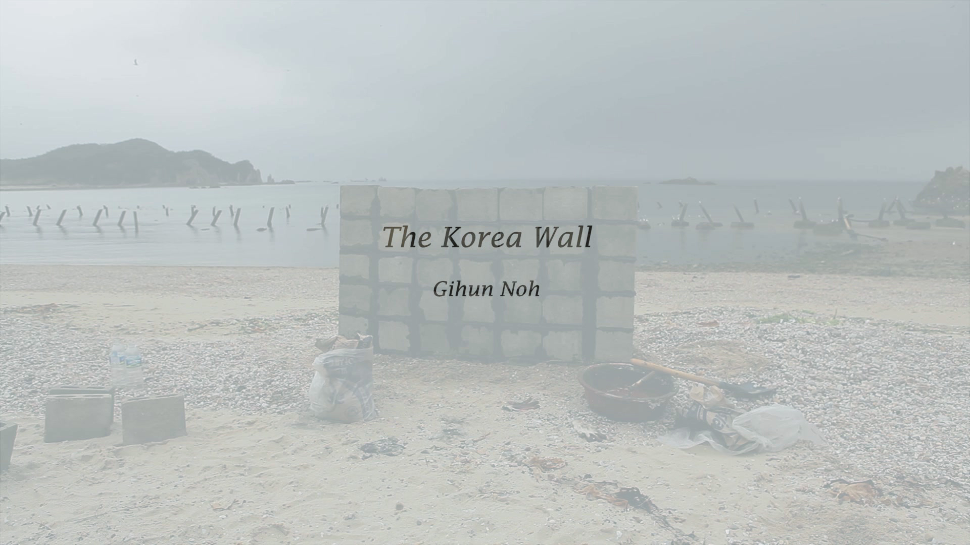
The Korea Wall, 2013
Site Specific Installation, Performance, Single Channel Video

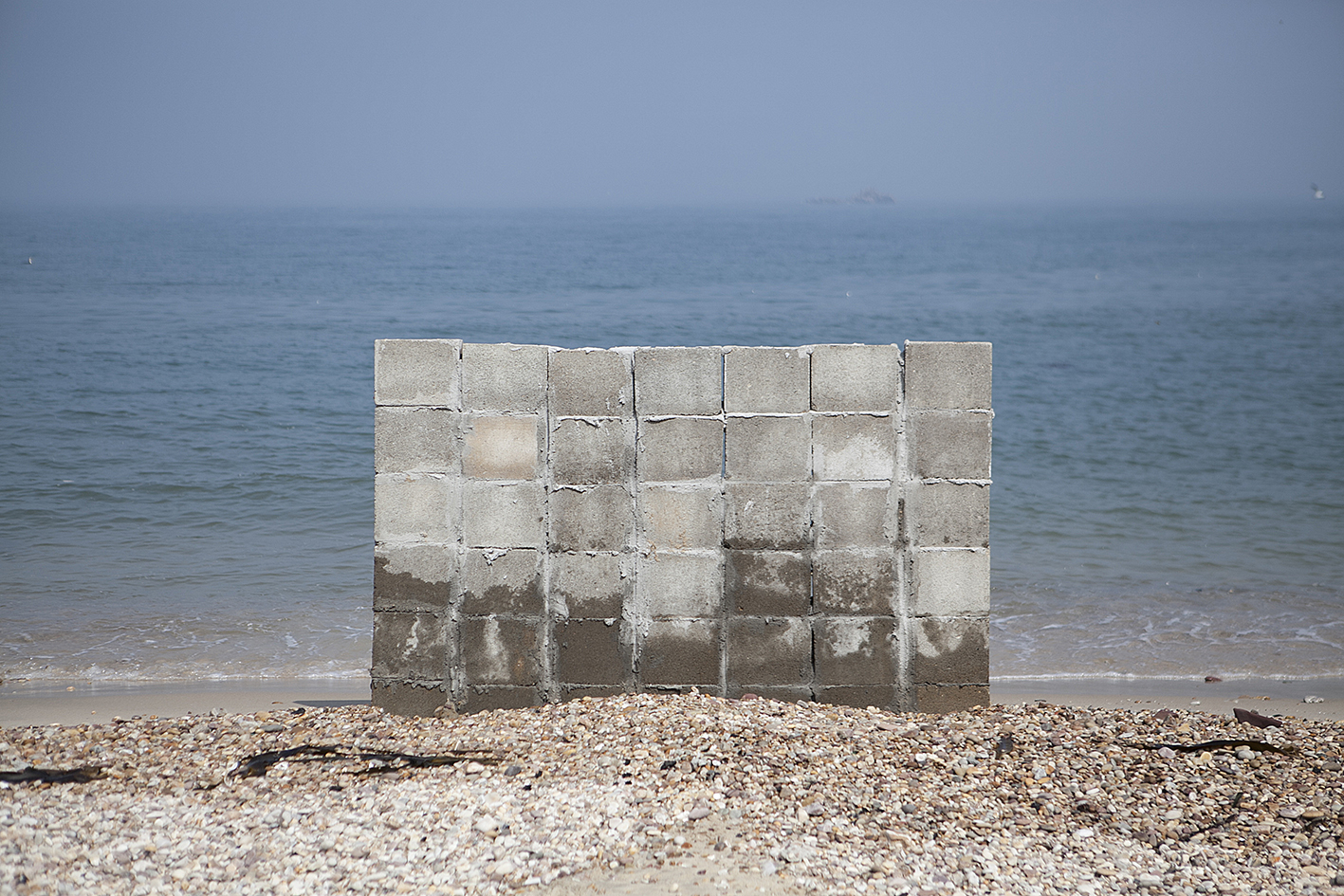
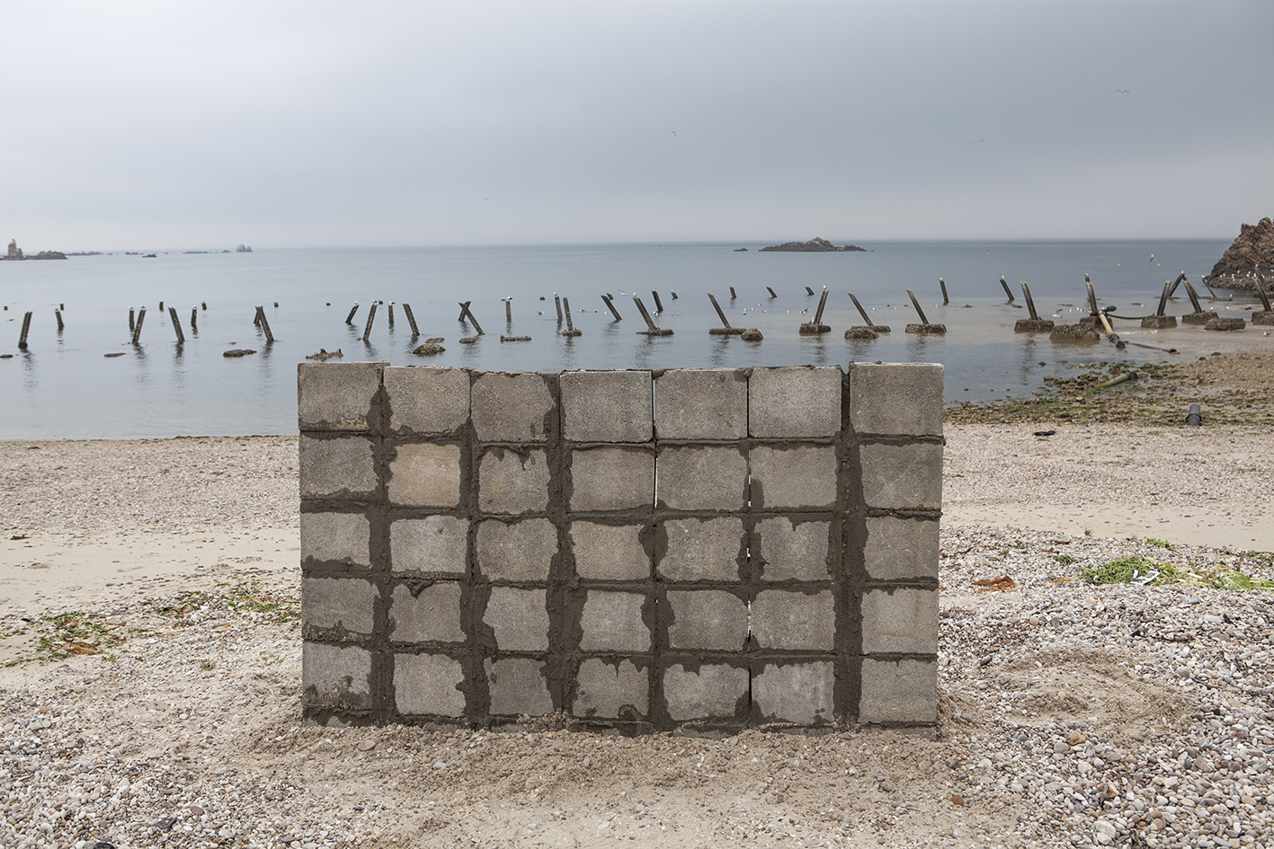
The Korea Wall, Site Specific Installation, 110 x 200cm, 2014
Eoritgol beach, the far-north of the island where civilians are allowed visit, is known for the Dragons teeth and seagulls. I will go there and build a wall as high as I can, which will protect me from the outside world. The wall divides the place into inside and outside depending on where I stand. A step forward or backward decides enemies and allies. The absolute violence and cruelty is what NLL and the 38th parallel, the artificial border around sea lines and waves,demonstrate.
백령도의 최북단 어릿골 해안은 용치와 갈매기 떼들 그리고 그나마 백령도의 다른 해안 보다 민간인의
출입이 자유로운 곳으로 유명하다. 나는 그곳으로 가 나를 지키기 위해 내가 쌓을 수 있는 최대한의 벽을 쌓고자 한다.
벽은 벽을 사이에 두고 어느 쪽에 서있는가에 따라
안과 밖으로 나뉜다. 한 발자국 차이로 아군과 적군이 나뉜다. 인간이 만들어 놓은 NLL이나 38선과 같은 인위적인 경계는 저기 보이는 해안선이나 파도의 경계와 같은 자연에 비해 초라해 보이기만 한다.
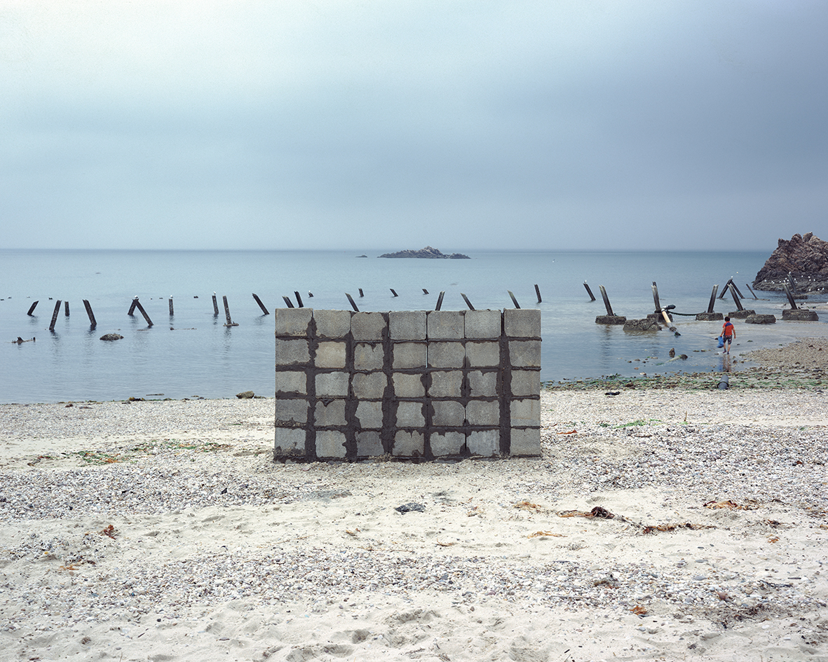
The Korea Wall, Pigment Print, 120 x 150cm, 2014
The Korea Wall, DV with Sound, 4min 16sec, 2014
